Weather alerts
National Weather Service · liveConditions now
Live USGS · weather · AQI · alerts · fireUSGS 13018750
Snake R. below Flat Creek, nr Jackson
Gauge height
…
Water temp
…
Updated
…
Weather now
Other gauges on this river
The Snake on the map
Full interactive map →Showing the Snake only. The full map covers the Snake and the Hoback: access points, rapids, gauges and float planning.
Five-day forecast
Loading 5-day forecast…
360° on the Snake
Terrain360 captures elsewhere →The Snake has not been captured in 360° yet.
Access & safety
Pacific Creek Landing
Boat ramp and small-boat launch, vault toilets
Deadmans Bar
Hardened boat ramp and small-boat launch, vault toilet
Moose Landing
Boat ramp and a separate hand launch, restrooms
West Table Boating Site
Whitewater put-in: boat ramps, toilets and changing rooms
Sheep Gulch Boating Site
Whitewater take-out: two paved ramps, bathrooms and changing rooms
RM = river miles below Jackson Lake Dam, measured along this site’s river line. NPS: Grand Teton National Park. Bridger-Teton: Bridger-Teton National Forest. Facilities as each agency lists them.
Emergency
In an emergency, call 911.
Float planning
Plan on map →Deadmans Bar → Moose Landing
NPS: advancedGrand Teton National Park lists it as 10 miles, advanced: the most challenging stretch of river in the park, where many accidents occur.
West Table → Sheep Gulch
AW: class IIIAlpine Canyon, with Lunch Counter and Big Kahuna. American Whitewater lists it as 7.9 miles, class III; spring flows of 15,000 to 25,000 cfs can produce class IV rapids.
South Park → Astoria
AW: class I to II (III)American Whitewater: the easiest stretch of the Snake above the Hoback confluence; below it, big eddies and swirls, and King’s Wave at medium to high flows.
Distances are this site’s river miles. Times are moving time at 3 to 5 mph of current: an estimate, not an agency figure. NPS: National Park Service rating. AW: American Whitewater.
Scout what you can’t see from the boat. Channels and wood change between visits: check with the managing agency before you go.
Fish & wildlife
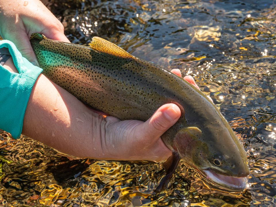
In the water
On the banks
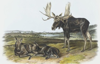 Moose
Moose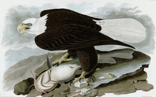 Bald eagle & osprey
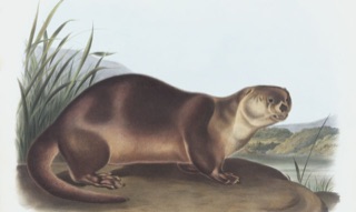 River otter
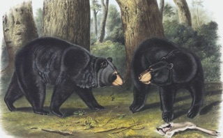 Grizzly & black bear
Wyoming Game & Fish Area 1 · license required · special cutthroat regs apply on designated reaches.
Trout: NPS / C. Adams, Grand Teton National Park, public domain. Plates: J. J. Audubon, The Viviparous Quadrupeds of North America (moose, 1845) and The Birds of America (bald eagle, 1828); J. W. Audubon, The Viviparous Quadrupeds of North America (river otter, 1847; black bear, 1848). Public domain, via Wikimedia Commons.
Recently observed nearby
iNaturalist →Loading recent sightings…
The river
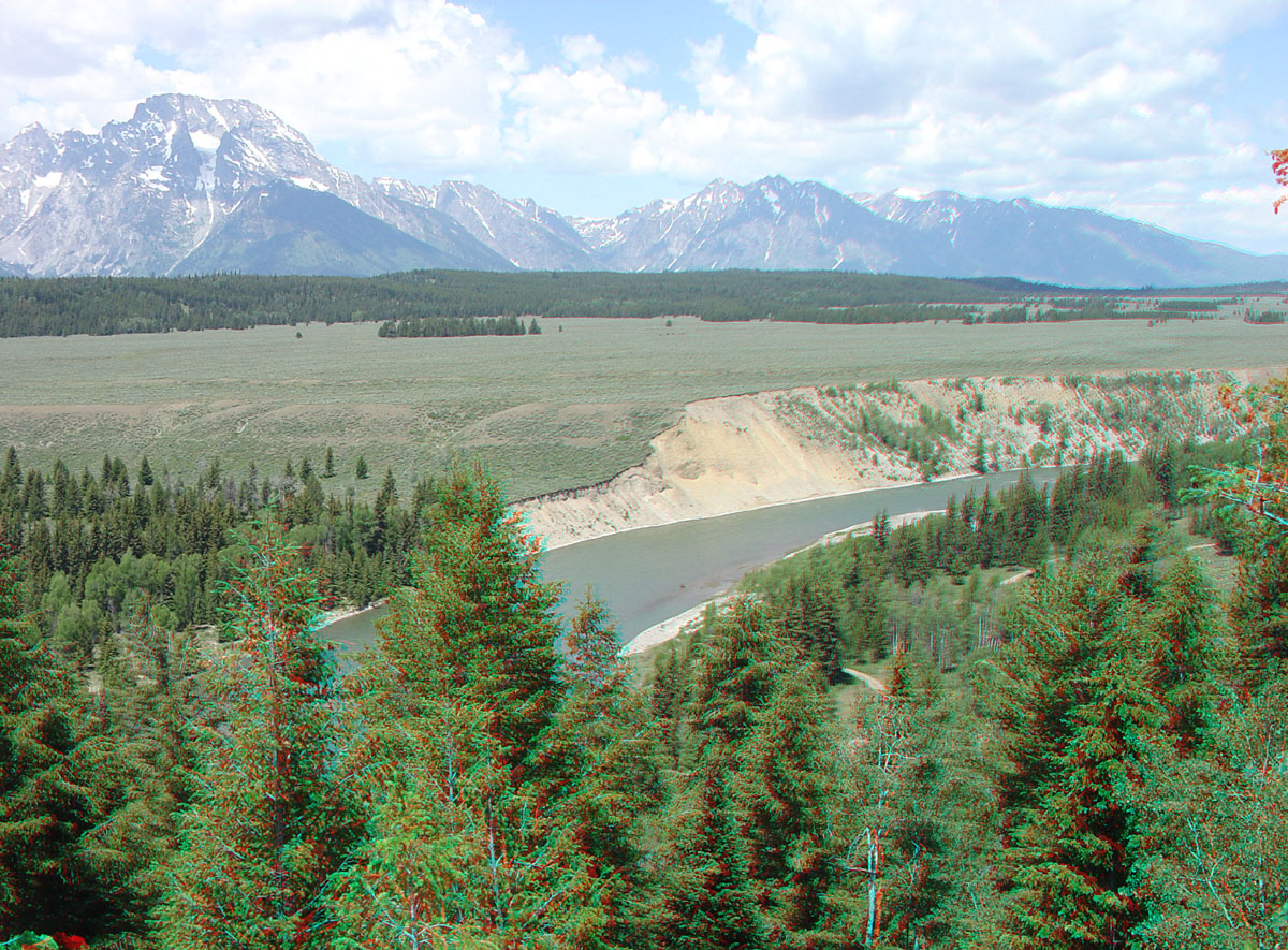
The Snake is the spine of Jackson Hole. Below Jackson Lake Dam it runs past the Teton Range through Grand Teton National Park, then bends south into the Snake River Canyon and its whitewater. Below Alpine it backs into Palisades Reservoir. Flows swing hard with snowmelt: a quiet July float can be a freight train in June.
History
Protected in 2009 by the Craig Thomas Snake Headwaters Legacy Act, which designated segments of the Snake and its headwater tributaries Wild & Scenic. Long before that, the river carried names from the Shoshone and from French trappers, among them “La Maudite Rivière Enragée,” the accursed mad river, before settling as the Snake.