Paddle Jackson Hole Interactive map →
3 active alerts on the Gros Ventre Stage 2 fire ban · Winter-range gates View →
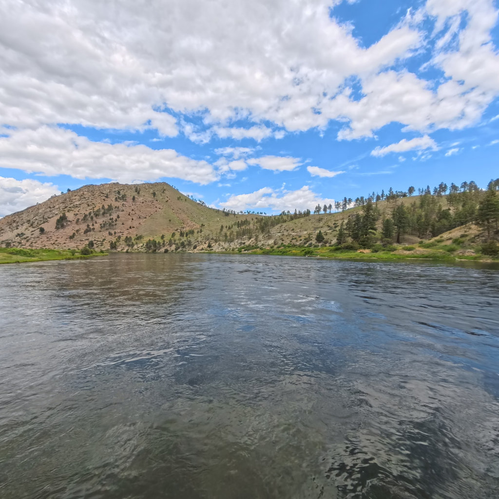
A calm river beneath grassy foothills
Gros Ventre Range · Bridger-Teton National Forest

Gros Ventre River

A quiet, storied river past the 1925 Slide and Lower Slide Lake — elk country, cutthroat water, low gradient.

60 mi Class I–II Wild & Scenic (2009)

Alerts on the Gros Ventre

Roads · water · fire
Fire

Stage 2 fire ban

No campfires of any kind on Gros Ventre Road — Gros Ventre Complex active 8 mi east.

USFS
Seasonal

Winter-range gates

Some elk-range side roads remain gated into late spring; main Gros Ventre Rd open.

Bridger-Teton NF
Remote

No cell past Kelly

No service beyond Kelly — carry a beacon and leave a trip plan.

Teton County SAR

Conditions now

Live USGS · weather · AQI · alerts · fire

USGS 13014500

Gros Ventre River at Zenith, WY

Dropping
540 cfs
▼ 7% vs. last week

Gauge height

3.2 ft

Water temp

57°F

Updated

17 min ago

Weather now

68° Sunny
Wind 5 mph SSW H 78° · L 39°

Other gauges on this river

below Slide Lake (est.) 610 cfs
nr Kelly (est.) 525 cfs

The Gros Ventre on the map

Full interactive map →
Open full map →

Showing the Gros Ventre (centerline via OpenStreetMap). The full interactive map currently covers the Snake & Hoback.

Fire & restrictions · advisory

Danger: Very High

Stage 2 restrictions on Gros Ventre Road — no campfires of any kind, including in developed sites. Stoves with shutoff valves permitted.

Gros Ventre Complex

3,850 ac · 60% contained · 8 mi E near Slide Lake

Smoke & air quality

51

AQI · Moderate

PM2.5 · 16 µg/m³

Thin smoke aloft from the Gros Ventre Complex to the east. Sensitive groups should watch midday haze.

Five-day forecast

Loading 5-day forecast…

360° on the Gros Ventre

Regional captures →
360° scheduled

Gros Ventre Slide

1925 landslide · scheduled

360° scheduled

Lower Slide Lake

Reservoir shore · scheduled

360° scheduled

Kelly → Elk Refuge

Lower river · scheduled

Photos

Slide Lake at first light

Elk on the winter range

Red Hills badlands

Kelly cottonwoods

Access & safety

RM 0

Slide Lake

USFS ramp · campground

Put-in
RM 6

Red Hills

Dispersed pullout

Access
RM 12

Kelly

Bridge hand launch

Access
RM 18

Gros Ventre confluence

Joins Snake near airport

Take-out

Emergency

Teton County SAR · 911 dispatch. Gros Ventre Road is remote with no cell service past Kelly — carry a beacon. Bridger-Teton dispatch (307) 739-3630.

Float planning

Plan on map →

Slide Lake → Kelly

Class I–II
12 mi~3–4 hrScenic, snags

Kelly → Confluence

Class I
6 mi~2 hrFlatwater drift

Fish & wildlife

Vintage plate — cutthroat trout

Signature species

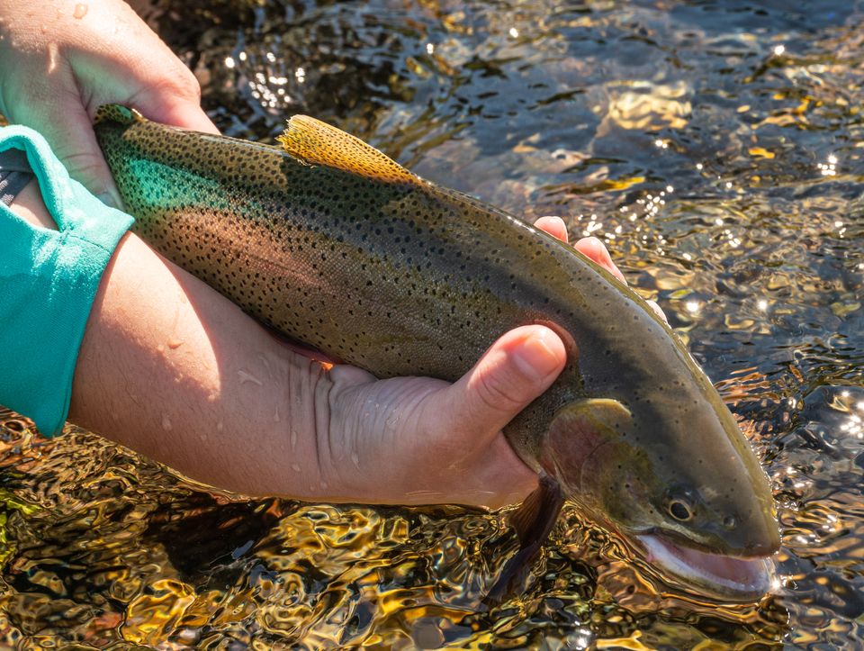
Snake River fine-spotted cutthroat

Lower-gradient and warmer than the Snake — a fly-fisher’s drift through elk and bison country rather than a whitewater run.

In the water

Fine-spotted cutthroat Mountain whitefish Utah chub (lower)

On the banks

Elk (winter range)
Bison
Bighorn sheep
Pronghorn

Wyoming Game & Fish Area 1 · license required · seasonal closures protect winter range — check before access.

Vintage species plates — public domain (J. J. Audubon et al.), via Wikimedia Commons.

Recently observed nearby

iNaturalist →

Loading recent sightings…

The river

The Gros Ventre is the valley’s slow story. It drains the range of the same name through red-rock badlands, pools behind the 1925 landslide as Lower Slide Lake, then drifts past Kelly and the National Elk Refuge to meet the Snake near the airport. Low gradient and braided, it’s more a fishing-and-wildlife river than a whitewater one — best known for elk, bison, and big skies.

History

Named for the Gros Ventre people. In 1925 a massive landslide dammed the river overnight, forming Slide Lake; two years later the dam failed and flooded Kelly, killing six — one of the West’s defining natural-disaster stories, still visible as a scar on Sheep Mountain.