Weather alerts
National Weather Service · liveConditions now
Live USGS · weather · AQI · alerts · fireUSGS 13019500
Hoback River near Jackson
Gauge height
…
Water temp
…
Updated
…
Weather now
The Hoback on the map
Full interactive map →Showing the Hoback only. The full map covers the Snake and the Hoback: access points, rapids, gauges and float planning.
Five-day forecast
Loading 5-day forecast…
360° on the Hoback
Terrain360 captures elsewhere →The Hoback has not been captured in 360° yet.
Access & safety
Launch sites and float details for the Hoback are not on this site yet. The Hoback runs through the Bridger-Teton National Forest: check with the Forest for access, rules and current conditions before you go.
Bridger-Teton National Forest →Emergency
In an emergency, call 911.
Float planning
Plan on map →The interactive map shows the Hoback’s access points and plans floats that continue onto the Snake.
Scout what you can’t see from the boat. Channels and wood change between visits: check with the managing agency before you go.
Fish & wildlife
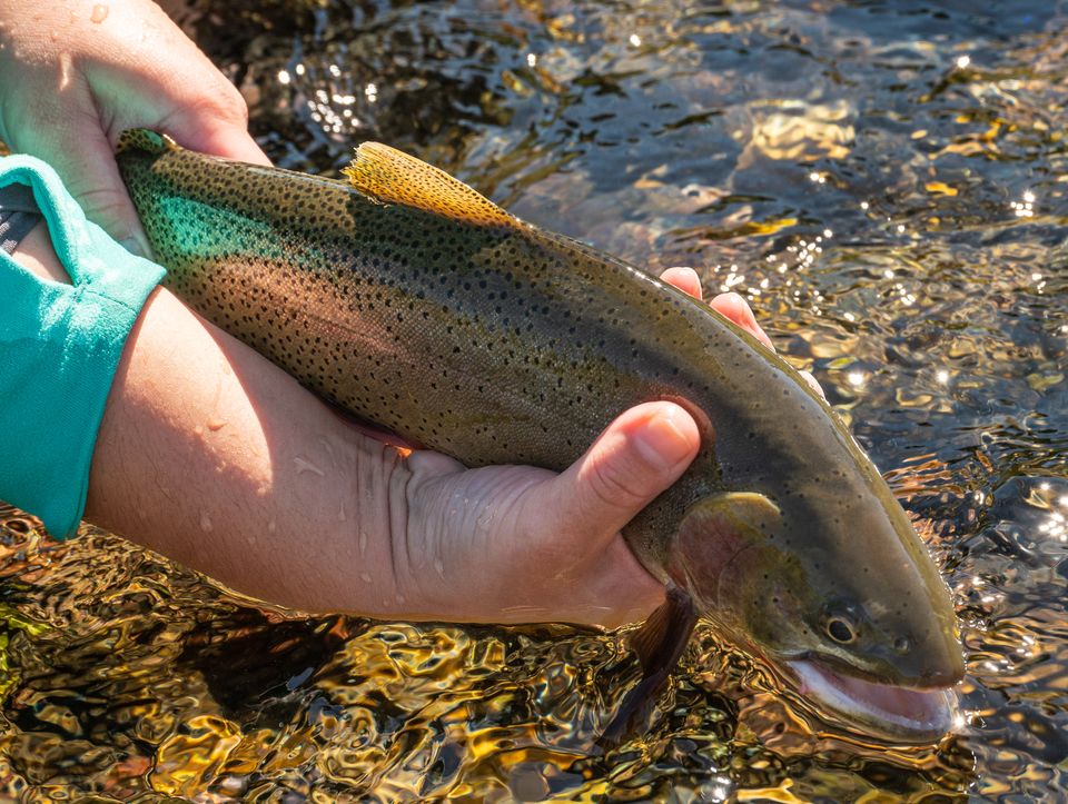
In the water
On the banks
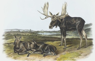 Moose
Moose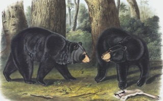 Black bear
Wyoming Game & Fish Area 1 · license required · check seasonal cutthroat regulations before fishing.
Trout: NPS / C. Adams, Grand Teton National Park, public domain. Plates: J. J. Audubon (moose, 1845) and J. W. Audubon (black bear, 1848), The Viviparous Quadrupeds of North America. Public domain, via Wikimedia Commons.
Recently observed nearby
iNaturalist →Loading recent sightings…
The river
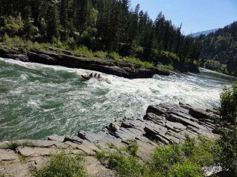
The Hoback runs out of the Wyoming Range and threads a tight canyon along US-191 before it meets the Snake at Hoback Junction. In June it runs high and fast with snowmelt; by late summer it drops low and clear. The highway follows it through the canyon.
History
Named for John Hoback, a fur trapper who guided parties through this country around 1811. The river and its junction became a crossroads of the early Western fur trade, and today US-191 through the canyon is one of the southern roads into Jackson Hole.