Conditions now
Live USGS · weather · AQI · NWS alertsValley fire & smoke
Two active incidents in the corridor. Stage 1–2 restrictions in effect across the Bridger-Teton.
Region danger
Very High
Air quality
51 · Moderate
Alerts & travel
Live NWS alerts · road links · webcams sampleTeton Pass · WY 22
Single-lane signal control through the slide-repair zone — daytime delays up to 20 min.
Snake River advisory
Flows above 5,000 cfs. Cold, fast water and strainers — experienced boaters only.
Moose-Wilson Road
Closed to vehicles south of the Death Canyon turnoff for wildlife — bike & foot only.
Teton Park Road paving
Expect 15-minute holds near Signal Mountain on weekdays through July.
Webcams
Seeing the rivers in 360°
Immersive capture is coming to all three rivers.
360° and drone capture of the Snake, Hoback, and Gros Ventre is the next field season — the imagery that turns a map into a place you can stand inside. Here is the same crew on the same kind of rivers across Wyoming and Montana, ready to step into now.
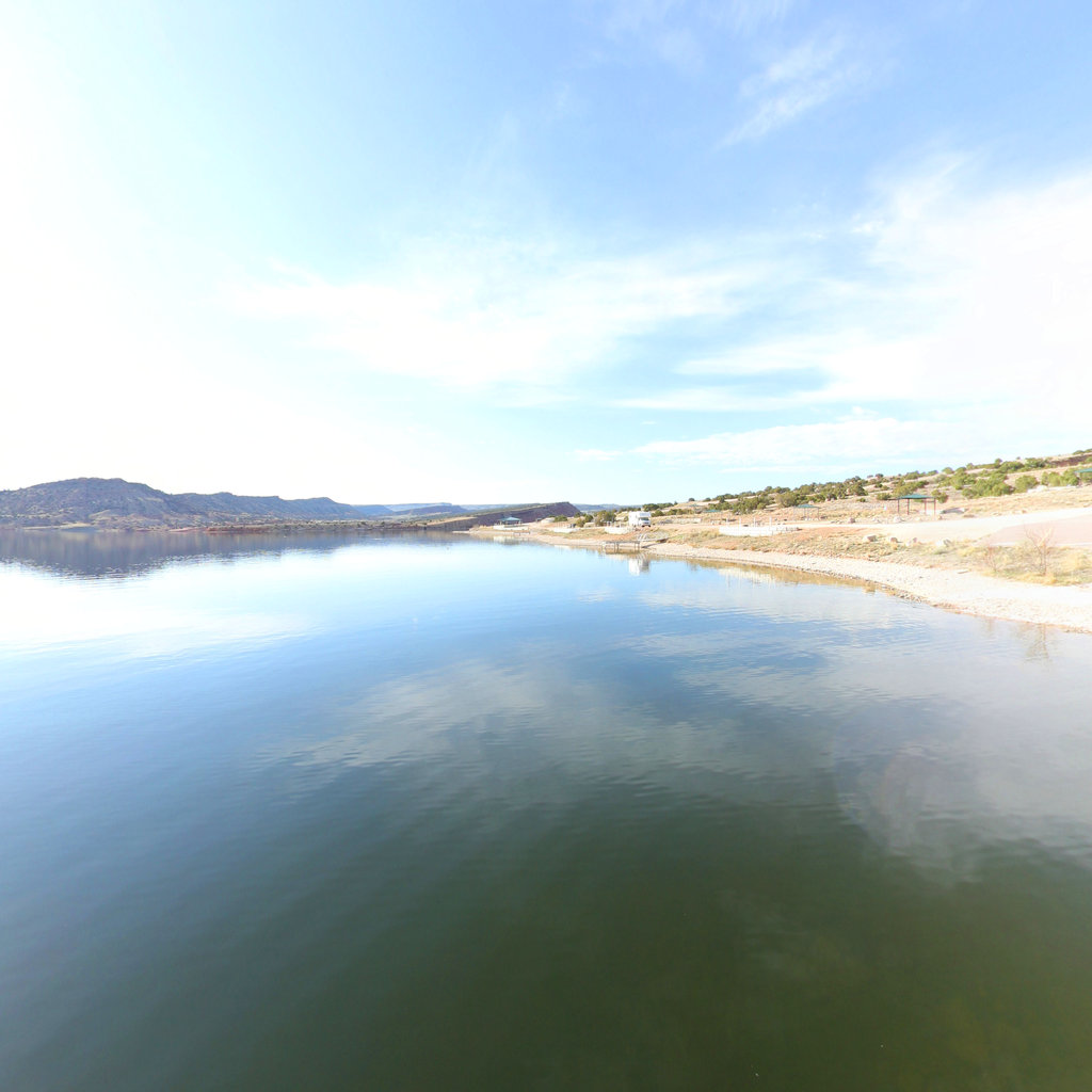
Alcova Reservoir
North Platte River, WY — 26.5 mi
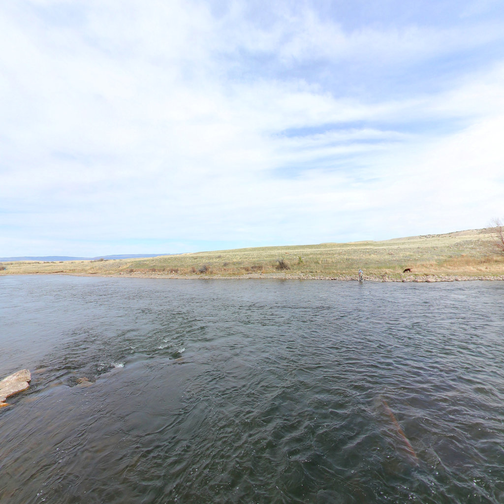
North Platte — Casper
Casper, WY — 13.0 mi corridor
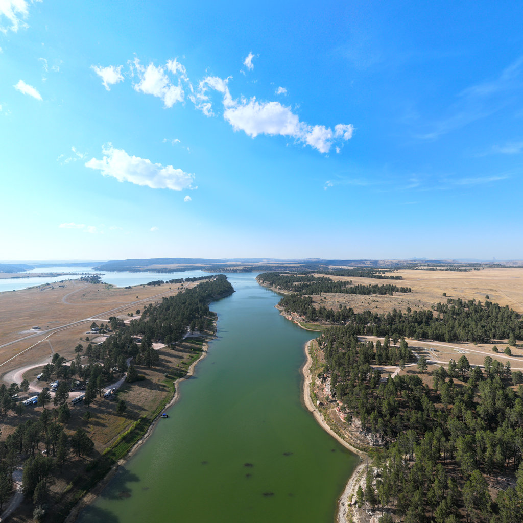
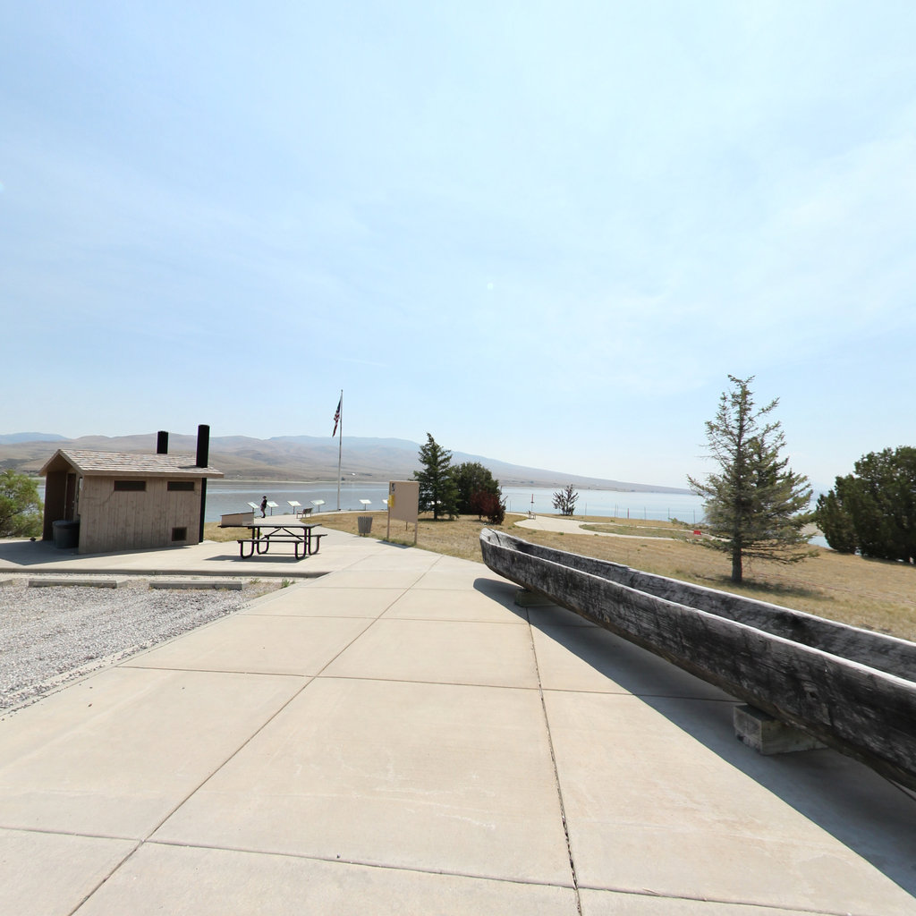
Keyhole State Park
Keyhole Reservoir, WY — 1.8 mi
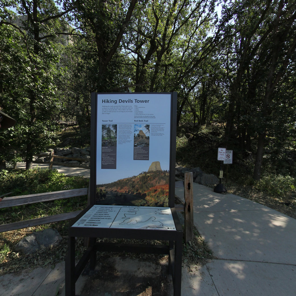
Devils Tower
Crook County, WY — 1.4 mi loop
Camp Fortunate Overlook
Beaverhead Mts., MT — divide access
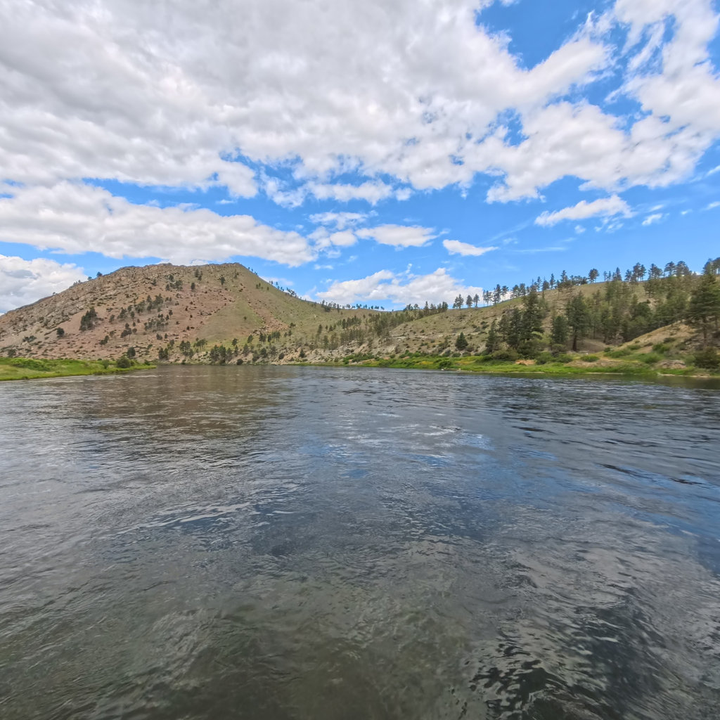
Gates of the Mountains
Missouri River, MT — 49 mi captured
Built to read the whole watershed at a glance.
Gauges, weather, fire, and access for three Wild & Scenic rivers, in one regional view. For routing put-ins and take-outs, rapids schematics, and the full 275-placemark dataset, open the interactive map.
Land acknowledgment
These rivers rise in lands stewarded by the Eastern Shoshone and Northern Arapaho peoples of the Wind River Reservation. Terrain360 welcomes collaboration with tribal nations on how this watershed is represented here.